

CAE Catalyst - Defense & Security Podcast: Industry Engagement in Training Transformation
Listen to the podcast

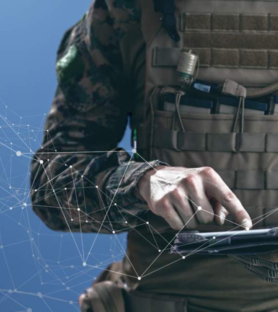
CAE is committed to advancing training transformation through our student-centric adaptive learning using synthetic environments and tools that optimize human performance. CAE brings together digital technologies, big data secure architecture, machine learning and artificial intelligence to transform operational environments.
We look forward to welcoming you to CAE’s booth #1734 to demonstrate how we support defense forces planning, preparation, and operations. Join us as we celebrate 75 years of technology leadership and innovation, collaborating with our customers and partners.
• Demonstrations at I/ITSEC 2022
• Insights on Industry and Innovation
• CAE Catalyst Corner – Talks Training Transformation
• CAE Authored Papers
• Working at CAE
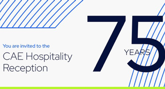
• CAE Hospitality Reception
To schedule an appointment to meet with our team during I/ITSEC 2022, click here.
Orlando, Florida
Orange County Convention Center,
North/South Concourse
November 28 – December 1, 2022
CAE Booth: 1734
CAE DEFENSE & SECURITY
Wendy Stough
Marketing & Communications, Senior Manager
T. +1 813 517-2195
C. +1 813 233-6409
E. [email protected]


As the world’s leading pure play, platform agnostic simulation, training and operational support company, CAE leverages vast capabilities and expertise to provide our customers advanced solutions in support of digital transformation and mission readiness. At I/ITSEC 2022, we will demonstrate how we are leveraging digital technologies to enhance the safety, efficiency and mission readiness of our customers who operate in complex high-stakes, and largely regulated environments.
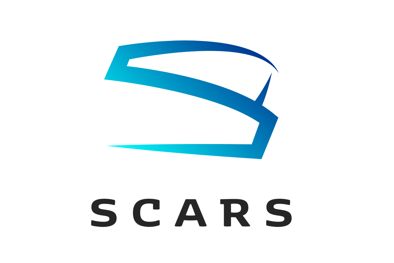
CAE USA is the prime contractor on the Air Force's Simulator Common Architecture Requirements and Standards (SCARS) program, which is designed to provide the Air Force an Enterprise Solution that implements use of a common, cyber-resilient infrastructure specifically designed to support the Joint Synthetic Environment and Distributed Mission Operations training across all Air Force Major Weapons Systems.
CAE USA is leading the development of the SCARS enterprise which includes common architectural design standards, common computational technology applications, and a user development toolkit to support implementation and use of common technology applications to rapidly increase warfighter readiness. SCARS will provide the warfighter with an inter-connected, cyber-resilient, multi-level security synthetic environment supported using common, best-of-breed synthetic applications for all Air Force legacy, 5th Generation, and 6th Generation synthetic mission training. The SCARS Enterprise includes 2,400+ USAF simulators across 300 locations.
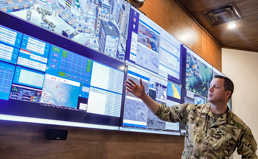
CAE's Joint All-Domain Operations (JADO) demonstration brings together the latest in Modeling & Simulation, Artificial Intelligence (AI), training system integration, and Human-Machine Teaming to provide a complex, immersive, training experience for the decision-making level of military operations. At I/ITSEC, CAE is integrating tactical trainers, AI-driven assessment of operations, feedback on cognitive performance, and an all-domain/near-peer virtual environment, to show how training and mission rehearsal can be taken to the next level. Whether it's intelligence assessment, targeting, operational command and control, or operational planning, CAE's JADO Simulated Exercise (SE) demonstration showcases how future military operations can be enhanced.
CAE Virtual Intelligence Surveillance & Reconnaissance Training Application (VISTA) provides real-time dynamic feeds from virtual C4ISR assets and fed directly to intelligence screeners and C2 terminals. Controlled in real-time, VISTA can provide C4ISR professionals a dedicated, highly affordable, stand-alone access to train, conduct mission rehearsal, or assess their operational plans on any mission set from initial preparation of the operational environment (IPOE) to real-time interdiction support high value individual (HVI) targeting and strike, and all-domain near-peer targeting.
Cloud-ready, VISTA is compliant with the USAF’s Distributed Mission Operations (DMO) standards and can link multiple US and coalition partners for small- or large-scale mission training and exercises. Its containerized architecture allows it to be installed as part of any centralized or local cloud system to scale support across any JADC2 enterprise. VISTA is a key enabler for a true, common virtual training environment for the joint force.
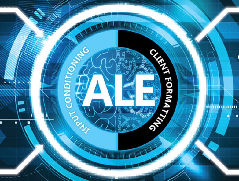
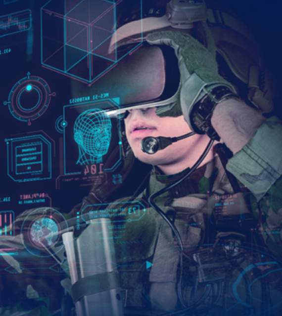
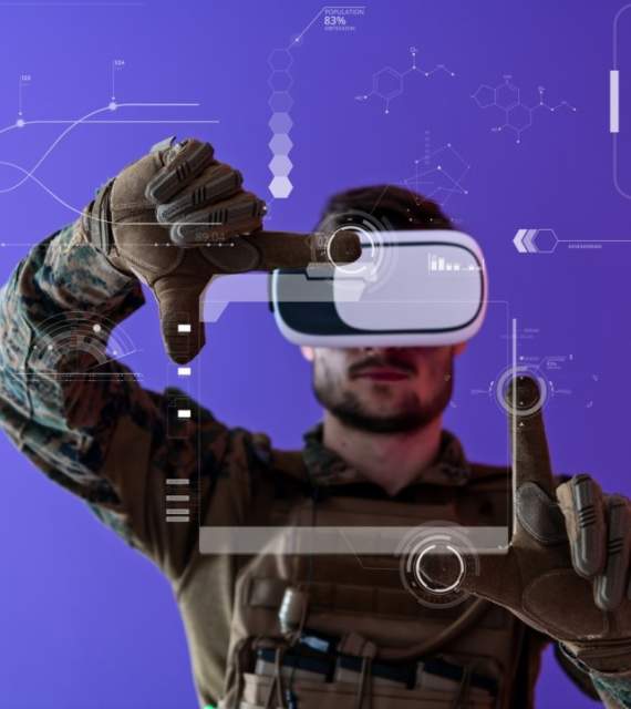
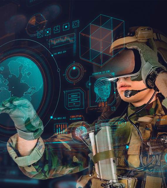
CAE is leveraging digital technologies and big data for student-centric adaptive learning of training tasks, procedure, maneuvers, and missions. At I/ITSEC, experience the CAE Sprint Virtual Reality (VR) trainer with CAE’s patented Adaptive Learning Environment (ALE). The ALE provides real time scoring across performance and biometrics, accelerates learning and reduces instructor workload. Training efficiencies are improved through systematic and objective rule-based measures of performance and effectiveness. The ALE performance monitoring and assessment provides instructors and students with real-time feedback, allowing for immediate coaching through a mix of instructor and automated cueing.
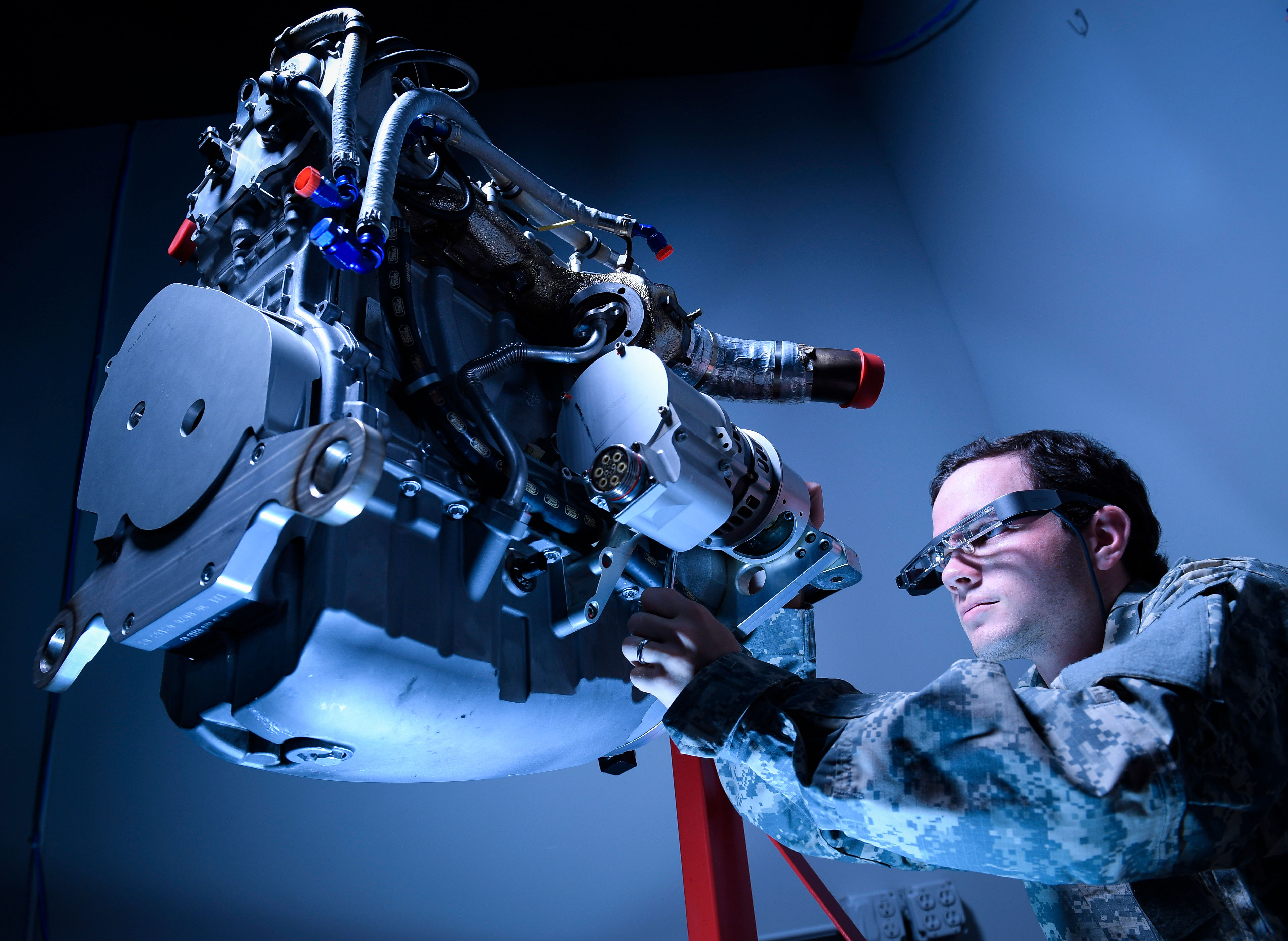
CAE’s Immersive Maintenance Guide is part of our +Tempo line of training products designed to enhance and accelerate maintenance training. It is constructed with detailed and interactive 3D graphics and is delivered either via tablet or in an immersive virtual reality environment through headsets. IMG provides access to the same advanced courseware, which includes current technical order and Interactive Electronic Tech Manuals (IETMS) data. Benefits of IMG include accelerated skills acquisition, built in performance feedback, rapid ingestion of updated technical order data, and reduced need for live assets, to name a few. IMG brings effective maintenance training at the point of need and was proven on a CV-22 trial to increase student’s overall proficiency and confidence by 42%.

As the pace of change increases, and our world becomes ever more complex, it is crucial that those leading and governing stay informed and ready to respond. Leveraging technology is key to successful decision-making in the face of these challenges. To accelerate data transformation and offer greater situational insight, CAE offers integrated synthetic replicas to help visualize, simulate, and address global challenges with an emphasis on supporting data-driven decision processes for understanding, considering alternatives and for decision-making.
Training modernization is impacting our military customers globally and CAE Defense & Security is innovating and adapting to meet the evolving needs of our customers. Follow us on LinkedIn to see how we are advancing training to increase safety, efficiency, and mission readiness.

Evolving global threats and environments are forcing defense and security organizations around the world to reconsider long-held beliefs about technical skills training. Tried and true instructional tools and approaches that have yielded successful outcomes in the past are no longer able to support requirements for increasing capacity, speed, and capability. This is prompting military services to investigate modern approaches to instructional design and education technology.
Join us at the Catalyst Corner on CAE’s booth #1734 as we talk training transformation
At I/ITSEC 2022, CAE subject matter experts will be presenting papers addressing emerging concepts and innovative technologies, human performance analysis and engineering and simulation and training.
Tuesday, 29 November at 5pm (room W307B)
High-Level Orders for Intelligent Agents to Rapidly Generate a Realistic Battlespace
Authors:
Brian Mills, Lead Modeling and Simulation Engineer, CAE USA Defense and Security
Robert Ducharme, Senior Scientist, CAE USA Defense and Security
Wednesday, 30 November at 8:30am (room W307C)
Emulation of a Flying Boom Operator: The Dynamic Effects
Author:
Hung Q. Tran, Technical Authority - Software Engineering, CAE USA
Wednesday, 30 November at 11:30am (room W307C)
Operational Assessment of a CV-22 Virtual Maintenance Training Solution
Authors:
Beth M. Hartzler, PhD, Senior Research Scientist, CAE USA
Wink Bennett, Readiness Product Line Lead, Airman Systems Directorate, Warfighter Readiness Research Division
Wednesday, 30 November at 2pm (room W307A)
Geospatial Data Pipelines for Urban Digital Twin Applications
Authors:
Joanna D. Hobbins, Subject Matter Expert – GIS, CAE
Melisa Kopan, Simon Merrick, Ralph Coleman, Sean Lilley – Cesium
Nick Giannias, Senior Technical Fellow, CAE, Shehzan Mohammed, Director of Product Management, Cesium
Thursday, 1 December at 9am (room W307A)
Large-Scale Pattern of Life Simulation for Real Time Applications
Authors:
Nick Giannias, Senior Technical Fellow, CAE
Stijn Herfst, Roland Geraerts, Alistair Thorpe. Aidan Hobson Sayers, Evan P. Harris, Senior Systems Architect, CAE
Thursday, 1 December at 9:30am (room W307D)
Social Media Synthesis using AI for Decision Support
Authors:
Evan P. Harris, Senior Systems Architect, CAE
Jaspreet Kaur, CAE, Maher Chaouachi, CAE, Martin Durocher, CAE, Rakesh Tiwari, CAE, Alex Emirov, CAE, Nick Giannias, Senior Technical Fellow, CAE
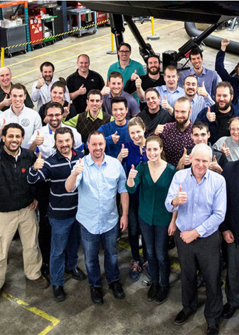
Are you attending I/ITSEC 2023 and you are interested in discovering new and exciting career opportunities in modeling, simulation, or training?
CAE's recruitment team will be on the ground at I/ITSEC 2023, both at CAE's booth #1734 and during the Career Fair at I/ITSEC on Wednesday, 29 November from 1:00 pm – 5:00 pm EST in the West Concourse, Room 110A.
Join CAE, where passion meets purpose.
You are invited to join us at our I/ITSEC 2022 Hospitality Reception in celebration of 75 years of technology leadership and innovation, and collaboration with customers and partners who have contributed to our success.
Hyatt Regency
Regency Ballroom T-V (Convention Level)
9801 International Dr.
Orlando, FL 32819
Attire: Business casual